Facts About India-made GPS System, Which May Come With Your Future Smartphones
Anil - Jul 19, 2019

Have you wondered why we have ISRO while we already have the GPS?
- How to Fake GPS Location on iPhone or Android
- Delhi Is The World’s Most Polluted Capital City For Three Years In A Row
- Indian Farmers Install High-Tech, Night-Vision CCTV Cameras To Protect Themselves
Every map service like Google Maps or Apple Maps is in association with the GPS system. While a lot of smartphone users have heard about the GPS as a satellite navigation system, but not many of them know that there are a number of similar systems which have been used in the world, including BeiDou Navigation System (BDS) of China and European Union, or Russia’s own GLONASS.
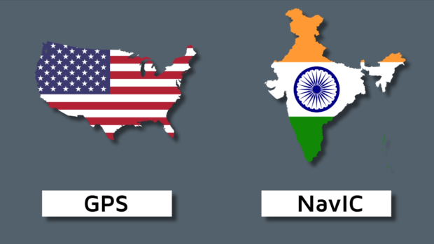
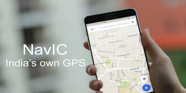
As a result, India will come with the idea of a homegrown system. In Bengaluru, the ISRO (Indian Space Research Organization) has worked on a project called NavIC, which stands for Navigation with Indian Constellation. The India-made system is based on GPS, but have you wondered why we have ISRO while we already have the GPS? Back in 1999, India was stuck in the Kargil War and required the GPS data about the Pakistanis from the US, but the superpower did refuse. Due to that, India found the need for its own system. Now, Isro is said to cooperate with chipmakers to make smartphones integrated with NavIC before selling them in the country.
Here’re some interesting facts about the upcoming plan.
1. The satellite navigation system of India had been launched in 2016, following the launch of the INRSS 1G.
2. ISRO along with Qualcomm and Broadcom are talking to the plan of bringing NavIC to upcoming smartphones inside the Indian market. Of course, there will be a new chip supporting NavIC.
3. NavIC is expected to achieve more accuracy rate than GPS.
4. Drivers will benefit the visual turn-by-turn voice navigation from NavIC.
5. Most commercial vehicles have to come with NavIC trackers if they were registered after April 1, 2019. At least 30 Indian companies are allowed to make NavIC trackers.
6. To support NavIC, eight IRNS satellites will provide a wide range of data such as navigation, location, timing services, and more.
Featured Stories

ICT News - Jun 27, 2026
OpenAI Launches Limited GPT-5.6 Preview Amid U.S. Security Review

ICT News - Jun 16, 2026
Elon Musk Becomes World's First Trillionaire After SpaceX's Record IPO

ICT News - Jun 14, 2026
The Technological Revolution at the 2026 FIFA World Cup

ICT News - Jun 03, 2026
Apple's Liquid Metal Hinge Poised to Deliver Breakthrough for Foldable iPhone...

ICT News - May 29, 2026
New Glenn Rocket Explodes in Massive Fireball During Static Fire Test at Cape...

Mobile - May 24, 2026
iOS 27 Preview: Apple Delivers Its Most Intelligent Siri Yet Alongside Fresh AI...

ICT News - May 08, 2026
Elon Musk Highlights Neuralink Breakthrough with New Surgical Robot for Brain...

ICT News - Apr 13, 2026
DDR4 RAM Prices Finally Fall After Soaring More Than 2,200 Percent

ICT News - Apr 06, 2026
Artemis II Crew Enters Moon's Gravitational Sphere on Historic Day 5

ICT News - Mar 31, 2026
Comments
Sort by Newest | Popular