This Indian Pothole Mapping App Will Alert You Of Danger, Aimed To Save Lives
Dhir Acharya - Dec 30, 2020

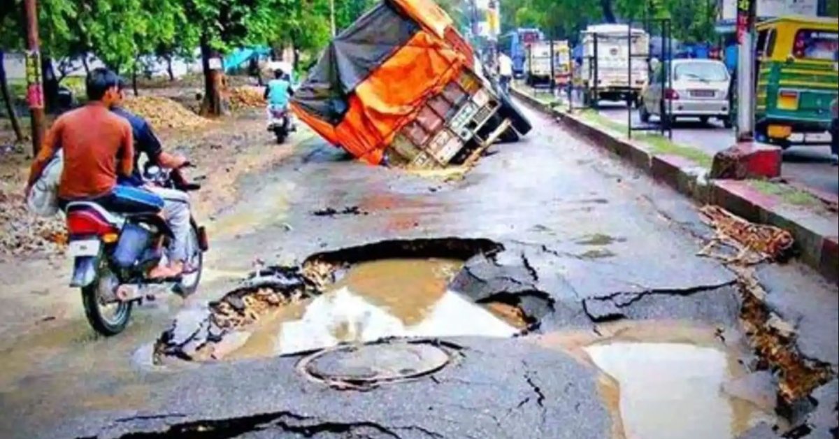
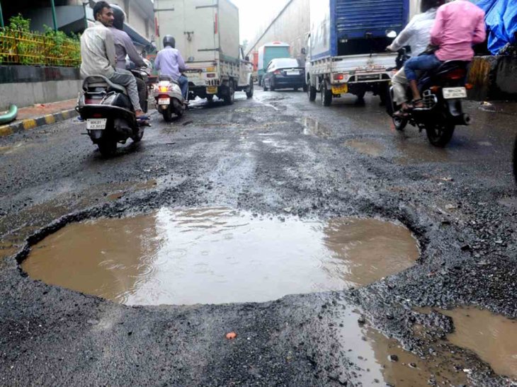
No matter where you go, as long as you’re within the border of India, you will bump into at least one pothole. But a new app is about to change that.
- Delhi Is The World’s Most Polluted Capital City For Three Years In A Row
- Indian Farmers Install High-Tech, Night-Vision CCTV Cameras To Protect Themselves
- Looking For The Best Electric Bike In India 2021? Take A Look At These
India is home to many cultures and languages, but there are things that you will find in all of its states and religions. Unfortunately, potholes on the road are among the most popular.
No matter where you go, as long as you’re within the border of India, you will bump into at least one pothole. The common appearance of potholes on the road have led Indias to develop superior driving skills to avoid accidents, but there are still many unlucky people across the country.

According to the government, in 2018, there are over 2,000 people dying from these potholes while over 4,000 people were injured by them in India. That did not include a number of accidents that were never reported.
Meanwhile, though Google Maps as got significant improvements over the years in mapping roads in India, it still has no information relating to cavities and dents on roads. With that in mind, a startup called Intents is attempting to solve this problem using only the sensors already existing in your phone like accelerometer and gyroscope.
The firm developed an app that can capture potholes via an algorithm that observes the changes in a vehicle’s speed along with sudden jumps and dips to determine whether it has potholes at certain spots.

The app is free and simple to download and install. The company said it does not need users’ personal data. For enhanced data privacy, it’s store behind PKI (public key infrastructure). As you use a mapping app, Intenets Go will alert you of upcoming potholes in audio.
The firm needs a large amount of data to track potholes but the COVID-19 pandemic has caused everyone to stay home instead of moving around. Therefore, they encouraged cab and truck drivers to install their app to gain monetary rewards. The firm also incentivized drivers to note other points like waterlogged spots, police posts, or closed roads with photo proof.
This app operates offline so as long as the GPS service is enabled on the phone, it will record data and send it back to the server once there’s a connection.

The two apps currently have over 120,000 active users, 80 percent of whom are drivers. According to the company, users of these apps are mapping over 750,000 km per day, recording over 150,000 potholes and speed breakers.
The app also covers repaired potholes. If there are over 19 vehicles passing a spot with a recorded dent, the cavity will be deleted from the system. The startup says it’s removing 30,000 potholes every day using this data.
The Head of this tech, Kacchi, said that the next step is improving the machine learning algorithm to determine the severity of a pothole. The app will likely show the depth of the dent through different colors. An iOS version of this app is also under development.
Featured Stories

Features - Jan 29, 2026
Permanently Deleting Your Instagram Account: A Complete Step-by-Step Tutorial

Features - Jul 01, 2025
What Are The Fastest Passenger Vehicles Ever Created?

Features - Jun 25, 2025
Japan Hydrogen Breakthrough: Scientists Crack the Clean Energy Code with...

ICT News - Jun 25, 2025
AI Intimidation Tactics: CEOs Turn Flawed Technology Into Employee Fear Machine

Review - Jun 25, 2025
Windows 11 Problems: Is Microsoft's "Best" OS Actually Getting Worse?

Features - Jun 22, 2025
Telegram Founder Pavel Durov Plans to Split $14 Billion Fortune Among 106 Children

ICT News - Jun 22, 2025
Neuralink Telepathy Chip Enables Quadriplegic Rob Greiner to Control Games with...

Features - Jun 21, 2025
This Over $100 Bottle Has Nothing But Fresh Air Inside

Features - Jun 18, 2025
Best Mobile VPN Apps for Gaming 2025: Complete Guide

Features - Jun 18, 2025
A Math Formula Tells Us How Long Everything Will Live
Read more

Mobile- Feb 16, 2026
Xiaomi Launches Affordable Tracker to Compete with Apple's AirTag
For users tired of ecosystem lock-in or high prices, the Xiaomi Tag represents a compelling, no-frills option that delivers core functionality at a fraction of the cost.

ICT News- Feb 15, 2026
X Platform Poised to Introduce In-App Crypto and Stock Trading Soon
X has been laying the groundwork for this expansion.

Mobile- Feb 14, 2026
Android 17 Beta 1 Now Available for Pixel Devices
While Android 17 Beta 1 doesn't introduce flashy consumer-facing changes yet, it lays the groundwork for a more robust and flexible platform.
Comments
Sort by Newest | Popular