Tired Of Bad Roads, Two Indian Engineers Builds A System To Monitor Roads Via Google Maps
Jyotis - Oct 08, 2019

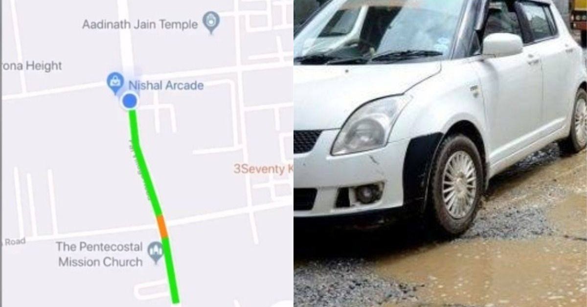
This new system can keep track of road states in a certain city and allow users to connect it to road maps to navigate, as well as mark bad roads as they drive.
- Tripura, India Has Constructed Its First-Ever Plastic Road
- 16 Most Dangerous And Challenging Roads In The World
- This Road In China With 68 Hairspins Will Give You The Best Driving Ever
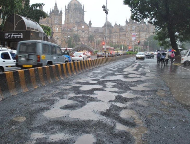
We all know how bad roads in India are. As a piece of evidence, a lot of parody songs and newscasts are composed relating to this topic. And, the government often makes an excuse saying that they don’t know which roads they need to repair. However, the system developed by these two Indian engineers will tackle with the annoying issue.

They are Mishal Jariwala and Dipen Babariya from Sarvajanik College of Engineering and Technology (also known as SCET). The engineers have developed a new system that can keep track of road states in a certain city. Basically, this sensing system allows users to map the current state of roads when they travel.
The system was a part of the two engineers’ course at SCET, and it is now known as a product of RoadMetrics Ltd., a company that focuses on developing innovative technologies for traffic law enforcement. When it comes to its operation, it combines a camera - that is designed with an image processing artificial intelligence - with a smartphone sensor that is installed in a vehicle to identify when to travel through cracks, loose asphalt, or potholes on roads. In addition, users can connect this system to road maps to navigate, as well as mark bad roads as they drive.
Initially, these engineers contacted with the Surat Municipal Corporation to introduce the app, and the company also showed their interest in their ideas. At present, they are partnering with SMC to further develop the potential project.
Dipen explained their ideas, "Our roads in the city can be repaired fast before they develop major defects by using this system. It gives an accurate and detailed assessment of the condition of a road.”
Some of the major advantages of this system include automatically recording data on road states in a region and saving manpower and time. In addition, developers can easily digitize and cross-check the collected data via the app whenever they drive a car in a certain direction.

In the future, traveling in India may become much more convenient and safer thanks to this system. Back to two years ago, there were 3,597 deaths due to potholes on roads, and 25,000 injured. Last year, these types of incidents made 10 Indians lose their lives each day.
Featured Stories

Features - Jan 29, 2026
Permanently Deleting Your Instagram Account: A Complete Step-by-Step Tutorial

Features - Jul 01, 2025
What Are The Fastest Passenger Vehicles Ever Created?

Features - Jun 25, 2025
Japan Hydrogen Breakthrough: Scientists Crack the Clean Energy Code with...

ICT News - Jun 25, 2025
AI Intimidation Tactics: CEOs Turn Flawed Technology Into Employee Fear Machine

Review - Jun 25, 2025
Windows 11 Problems: Is Microsoft's "Best" OS Actually Getting Worse?

Features - Jun 22, 2025
Telegram Founder Pavel Durov Plans to Split $14 Billion Fortune Among 106 Children

ICT News - Jun 22, 2025
Neuralink Telepathy Chip Enables Quadriplegic Rob Greiner to Control Games with...

Features - Jun 21, 2025
This Over $100 Bottle Has Nothing But Fresh Air Inside

Features - Jun 18, 2025
Best Mobile VPN Apps for Gaming 2025: Complete Guide

Features - Jun 18, 2025
A Math Formula Tells Us How Long Everything Will Live
Read more

Features- Jan 29, 2026
Permanently Deleting Your Instagram Account: A Complete Step-by-Step Tutorial
By following this guide, you can confidently delete your Instagram account and move forward.

Mobile- Jan 31, 2026
Generalist vs Specialist: Why the Redmi Note Series Remains Xiaomi's Easiest Recommendation
Redmi Note 15 series – balanced design and modern features.

Mobile- Jan 29, 2026
Guide to Sharing Your Contact Card via the mAadhaar App
The mAadhaar app, developed by the Unique Identification Authority of India (UIDAI), allows users to manage their Aadhaar details digitally.

Mobile- Jan 30, 2026
Red Magic 11 Air Debuts Worldwide: Snapdragon 8 Elite Powerhouse with Advanced ICE Cooling
Nubia's gaming-focused sub-brand, Red Magic, has unveiled its latest smartphone, the Red Magic 11 Air, for global markets.

Mobile- Jan 30, 2026
Motorola Unveils Moto G67 and Moto G77: 5200mAh Battery, 6.78-Inch AMOLED Display, Prices, and Specifications
With their combination of modern features and competitive pricing, the Moto G67 and G77 position Motorola strongly in the mid-range segment for 2026.
Comments
Sort by Newest | Popular