Google Has Now Offered Flood Alerts To Indian People
Indira Datta - Jan 03, 2019
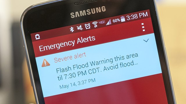
Flood alerts are sent to all people in that area through maps and notification text to Android devices.
- Google's Project Toscana: Elevating Pixel Face Unlock to Rival Apple's Face ID
- Google Offers Voluntary Buyouts to US Employees Amid AI Push
- Google SynthID: Everything You Need to Know About AI Content Detection
Through a feasible pilot project in Patna, technology giant Google has embarked on a plan to use ML technology to offer the flood alerts to people everywhere. Information and data relating to the levels of river water used for public flood alerts will be provided to Google by The Union Ministry of Water Resources.
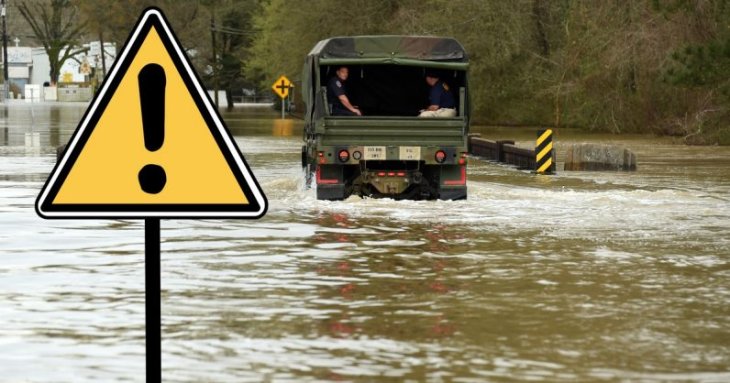
In August, the flood of Kerala devastated many people's lives, Google is trying to prevent this from happening again. A month after the flood, the company officially piloted flood alerts in Eastern India. Currently, the warning is only within the locations around Patna, which are adjacent to the Ghaghara River. But soon, Google plans to expand its predictability on a national scale before the rainy season. Up to now, 20% of the death toll in the global is Indians.
Patna is known with a large population and lots of floods, that's why Google chose it as the first place to apply this system. In the Patna pilot, Google used a hydrodynamic model to create a platform, which aims to bring the Machine Learning models to the process. This California-based technology company collaborated with the Indian Central Water Commission to issue flood alerts such as "low risk," "medium risk" and "high risk" widely through Public Alert. Flood alerts are sent to all people in that area through maps and notification text to Android devices.
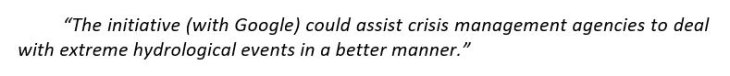
According to a researcher in Google’s Research and Machine Intelligence team, Sella Nevo said:
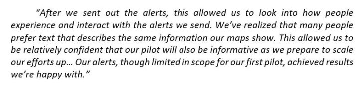
Although the results obtained in this pilot are only in small scope, it has truly created a trust for people as well as researchers about its potential and application. Nevo said the Patna pilot plan is truly successful and pleasing, the company will continue to expand this model to reduce the fear of flooding all over the country.
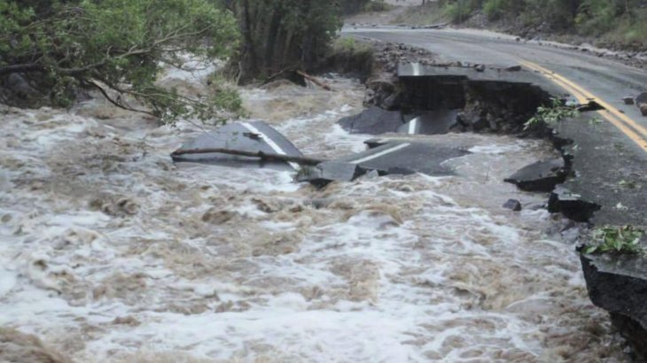
In fact, there are many methods to warn flooding very accurately. For example, the Transient Inundation Model for Rivers 2 Dimensional (TRIMR2D) is based on a digital computer program to determine the amount of flood that can flow through flooded areas and even several miles downstream. There is also a method of GIS using spatial analysis software to create a flood-based map and override them on other maps, such as local maps or shoot in the air. There is also an "LDAR" technology that uses light detection and a range that allows high-precision flood detection to be fast and inexpensive.
As we have seen, there are many effective methods to determine local flooding; however, many of them are highly dependent on individual calibration. At the same time, to produce accurate results, these models need a sufficient amount of data in a specific area and continental scale calculations, which we currently have many limitations and challenging to collect them.
Google stated that their Machine Learning models really improved and the efficiency was much higher than the physical-based flood model that we have used since the past. With conventional models, human experts often couldn't analyze the complexities of high-dimensional scenarios. On the other hand, multitask learning, or the framework of transfer will solve these difficulties, bringing higher performance in a shorter time on a much larger scale. This will minimize the incalculable consequences when people are informed of early flood information instead of taking too much time to analyze and predict.

The government is really looking forward to Google's support to help them to fight better against the floods across the country, according to a Union Ministry for Water Resources official. The official stated:
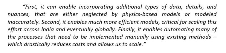
As per Nevo, he said:
In September 2018, researchers from the Michigan Technological University teamed up with researchers from the University of Kerala to produce a flooding map during the raging Kerala flood. To create a flood map in the Kerala region during and after the flood, researchers used data and images obtained from Sentinel radar satellite of the European Space Agency. After that, the group continued to map through fieldwork to determine the available data.
Featured Stories

Features - Mar 24, 2026
How to Use GeForce NOW to Play Video Games Without Actual Hardware

Features - Jan 29, 2026
Permanently Deleting Your Instagram Account: A Complete Step-by-Step Tutorial

Features - Jul 01, 2025
What Are The Fastest Passenger Vehicles Ever Created?

Features - Jun 25, 2025
Japan Hydrogen Breakthrough: Scientists Crack the Clean Energy Code with...

ICT News - Jun 25, 2025
AI Intimidation Tactics: CEOs Turn Flawed Technology Into Employee Fear Machine

Review - Jun 25, 2025
Windows 11 Problems: Is Microsoft's "Best" OS Actually Getting Worse?

Features - Jun 22, 2025
Telegram Founder Pavel Durov Plans to Split $14 Billion Fortune Among 106 Children

ICT News - Jun 22, 2025
Neuralink Telepathy Chip Enables Quadriplegic Rob Greiner to Control Games with...

Features - Jun 21, 2025
This Over $100 Bottle Has Nothing But Fresh Air Inside

Features - Jun 18, 2025
Best Mobile VPN Apps for Gaming 2025: Complete Guide
Read more
Mobile- Apr 14, 2026
Samsung Ocean Mode: Does It Make Your Galaxy Phone Waterproof?
Always use proper protective housing when taking your phone underwater and follow Samsung’s guidelines to keep your device safe.

ICT News- Apr 13, 2026
DDR4 RAM Prices Finally Fall After Soaring More Than 2,200 Percent
But don't get too excited yet...
Comments
Sort by Newest | Popular